Field work apps for Weed & Pest Control - Hunter Land Management
Hunter Land Management faced a challenge: How to streamline their management workload for client land holdings reporting?
They needed a solution that could efficiently gather data on weed and pest control efforts, aiding task tracking and comprehensive client reporting.
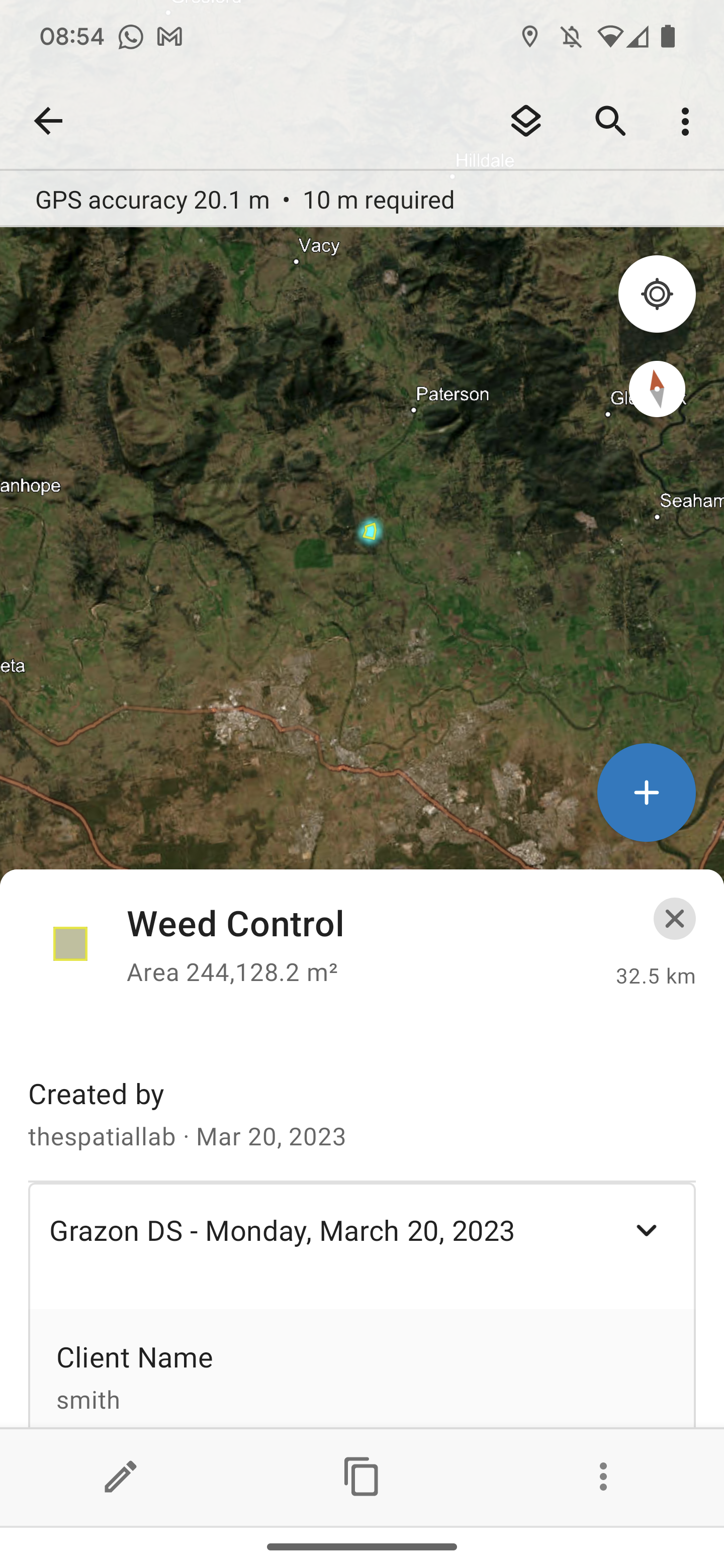
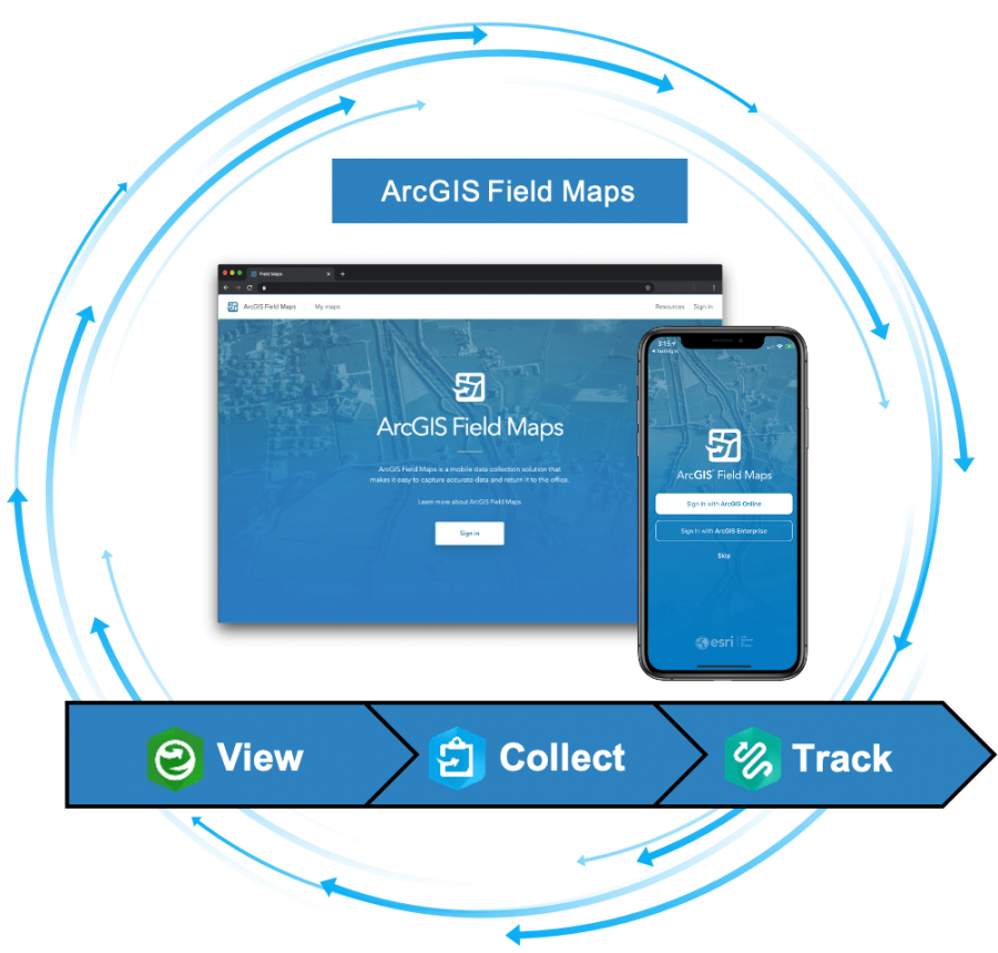
Our tailored solution addressed their needs perfectly. We crafted custom datasets that seamlessly align with their business, team, and client requirements. Leveraging the ESRI Field Maps mobile app, our approach empowers every team member to precisely pinpoint weed and pest locations. What's more, the app functions seamlessly in both online and offline scenarios, ensuring data integrity even in areas with limited connectivity.
With data synced to a central cloud-hosted datastore, updates are captured in real time, enabling a comprehensive history of activities at specific locations. We're also developing intuitive dashboards for insightful reporting, allowing clients to effortlessly monitor activities across their land holdings.
Hunter Land Management has harnessed technology's full potential, eliminating the need for manual report creation. Accessible information has become a prized asset, benefiting staff, managers, and clients alike. Our solution stands as a testament to the power of technology and tailored innovation in revolutionizing workflows and enhancing client satisfaction.
Services Provided:
Developed datasets and configurations for ArcGIS Online Field Maps
Client:
Hunter Land Management
If your business is ready to streamline your operations and boost client satisfaction, contact us today to explore how our custom GIS solutions can transform your business
Screenshots of Field work apps for Weed & Pest Control


